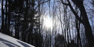
While we regularly highlight the work that our team conducts out in the forests, wetlands, and fields of the Kawarthas, a lot of work also goes on behind the scenes to support the conservation and stewardship work of KLT’s protected lands.
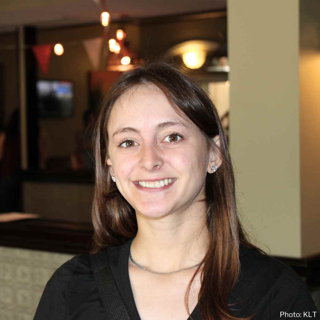
We want to introduce you to KLT’s Geographic Information Systems (GIS) Technician Isabelle Summers. With a fitting surname, Isabelle lent her skills and talents to KLT for the 2024 summer season.
Isabelle holds a BSc in Wildlife Biology and Conservation and a minor in GIS and Environmental Analysis from the University of Guelph.
She is a naturalist with a particular interest in snakes and has loved working to support their conservation across Ontario. She has a particular personal interest in using GIS for conservation and education as related to local Species at Risk.
While new to the Kawarthas, Isabelle has spent the summer exploring our natural spaces. You can learn more about Isabelle and her work in the interview below that we conducted in mid-August.
What do you enjoy most about your role as a Geographic Information Systems (GIS) Technician? Why were you interested in this role at KLT?
It’s been fantastic to be part of the KLT team. The group is so friendly and excited about nature and conservation, and it’s been a great experience to learn about the incredibly successful work of this land trust and important roles behind the scenes.
My work primarily involves making Stewardship Guides for property owners partnered with KLT. After our volunteers visit a property and write down all the flora and fauna they encounter, I’m given the list and turn the information into a guide with maps, species photos, and the ecological processes that are happening in the habitats on their property.
I love how much I am learning in my role. As I take the information that the volunteers collect in the field and write about them in the guides, I am learning about our local plants, how bird species interact with the habitats they prefer, and the immense role in ecology that habitat features play, such as a cavity tree or the edge between forest and a field.
As I am not from the area and didn’t know much about KLT beforehand, I was interested in this role to gain experience working with a land trust and learn more about the Kawarthas.
As well, I have gained experience in GIS through education and past employment, but I felt like I wanted to take my skills further. GIS as a tool contains so much potential for projects and educational material, and I feel it will be relevant in all conservation roles I pursue.
Why is the conservation of natural and working lands important to you?
I’ve gotten into conservation through my interest in wildlife and wanting to support species that are negatively affected by humans. A big issue for many Species at Risk is the loss and fragmentation of their habitat, which is so often continually degraded even after the risks and importance of preservation are identified.
As well, I often see many efforts to help species at risk, but a missing puzzle piece is the improvement or protection of connective and healthy landscapes. Overall, the conservation of natural and working lands is so important to me because of the importance of biodiversity.
How does the work you do and the technology you use contribute to conservation?
The biggest contribution to conservation in my role is through sharing educational material on conservation. A person’s appreciation for nature and passion for protecting it will come from seeing its beauty, as well as understanding the importance of natural habitats for wildlife and for people.
Having natural features and habitats displayed on a map can share so much about the land! It’s been awesome to explore these maps myself. The technology we use goes even further than maps of aerial imagery — we are able to calculate and display information.
Some of the interesting maps I am able to work with regularly include a layer that displays the connectivity of forest habitats, the amount of carbon biomass that a forest contains, and even historical aerial imagery from the 1950s that gives one a perspective of how the lands around us have changed.
These sorts of resources can give insight into the importance of protecting properties and how to improve habitats further.
What have been some memorable moments in the office or in the field this summer?
Some of the moments that stand out are times I joined staff and volunteers in the field, exploring some of the beautiful properties that KLT protects and partners with.
One memorable moment was going out to take inventory on a property with some very knowledgeable volunteers and spotting a mouse that turned out to be a Woodlands Jumping Mouse!
I’d not known about this species and it was so cool to find, as they are so timid. I really appreciated meeting volunteers with so many cool interests and knowledge to share.
What advice would you offer others considering specializing in GIS and land research?
The uses of GIS are limitless and it can be applied to so many different areas. The sheer amount of uses makes GIS a little complicated, and, therefore an intimidating tool to learn, but there is a lot of support online!
I would certainly encourage others to try GIS by looking at online resources or taking a course. There are online sources and software that can be accessed for free, like QGIS, and countless posts about resolving certain problems.
Other than making pretty maps, my favourite thing about GIS is exploring datasets and thinking about what would be interesting to have mapped or analysed. Provinces, cities, universities, conservation groups, and other organizations have so much data you can explore and use. I would certainly recommend exploring these!
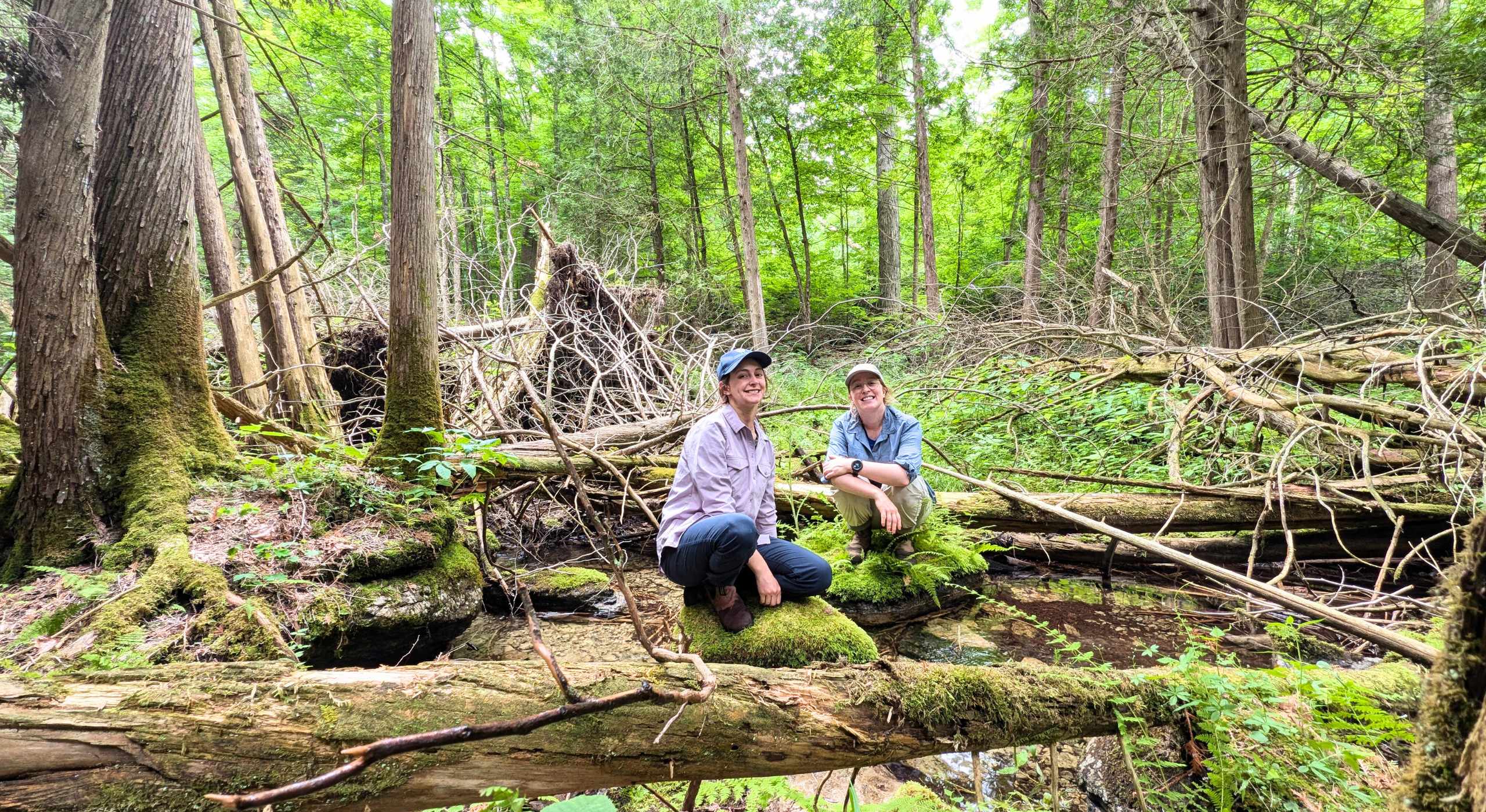
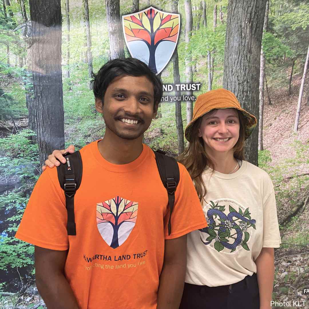
Main photo: Isabelle Summers and Sam Clapperton at a site visit (Photo: Joel Grandmont).
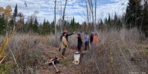
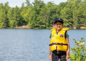
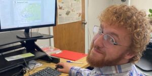
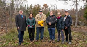
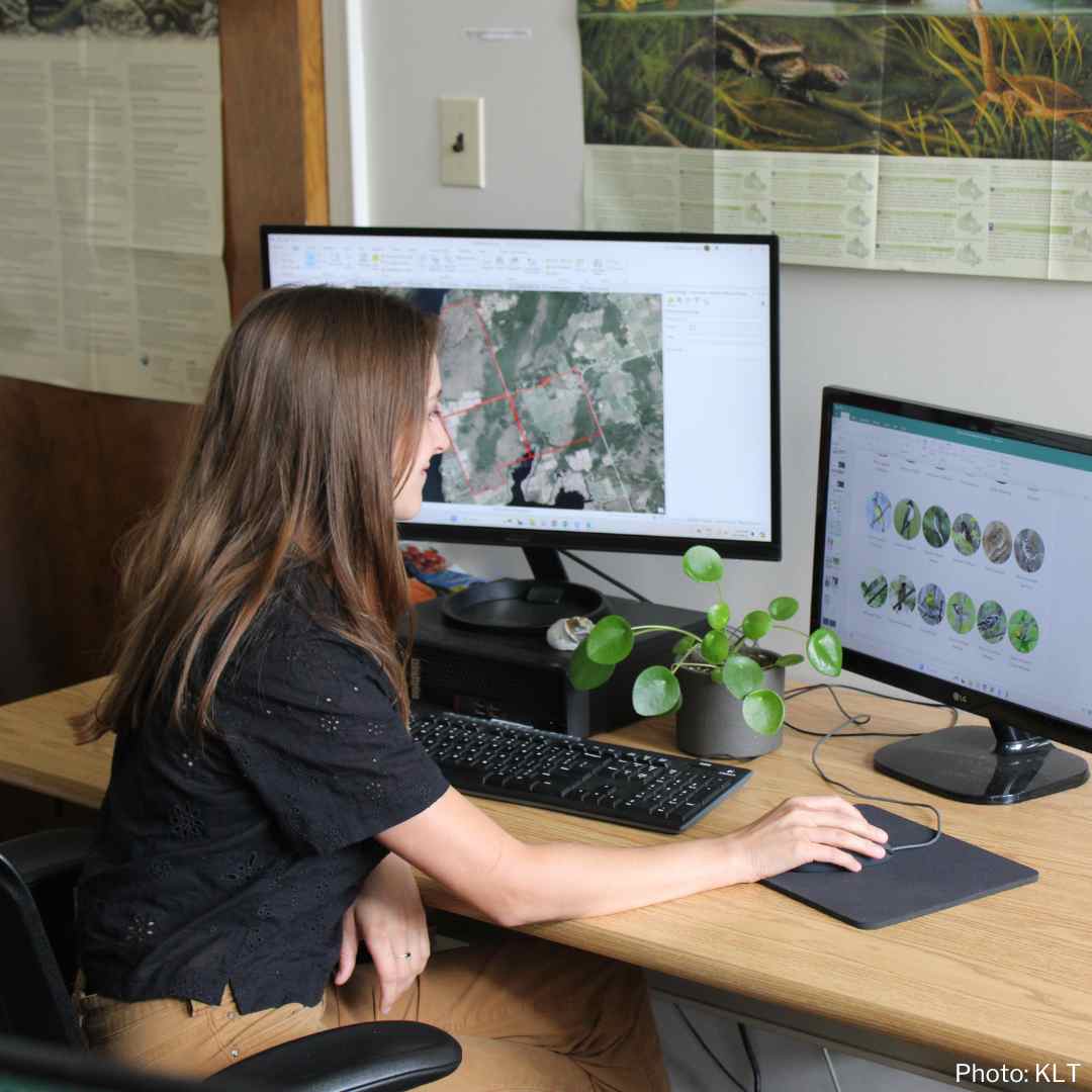
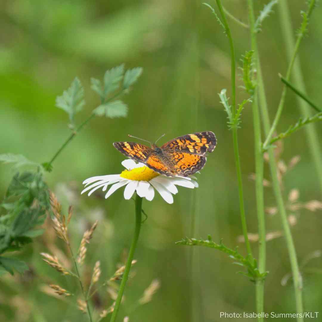
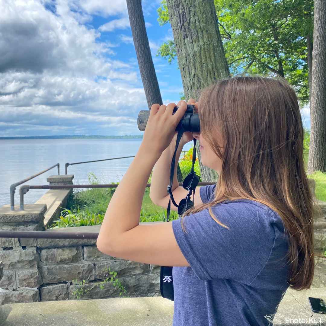
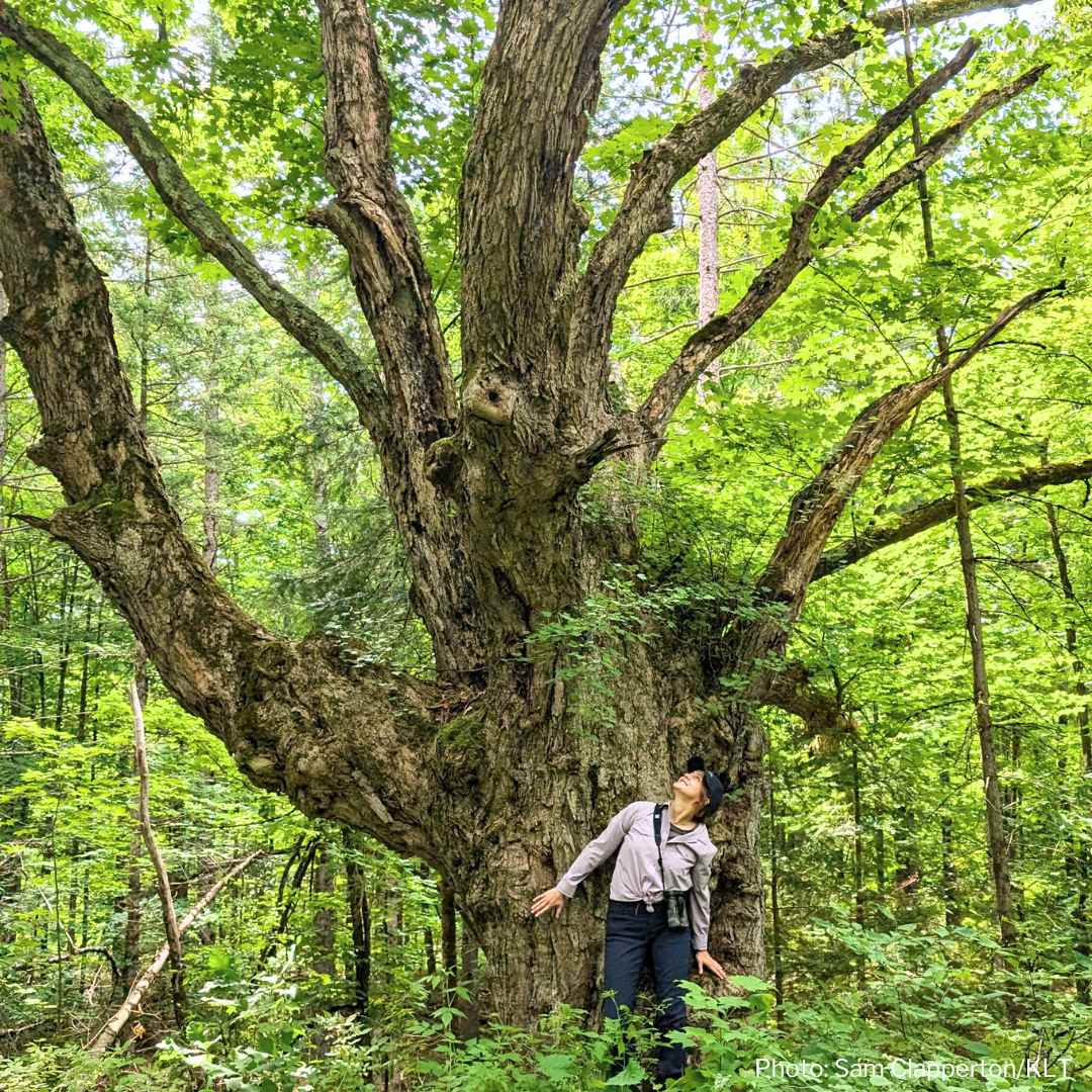
Photo Gallery (clockwise): 1) Isabelle working at KLT’s office in Peterborough (KLT). 2) Photo of a Northern Crescent Butterfly (Isabelle Summers/KLT) 3) Taking in the views of Pigeon Lake at KLT’s Hammer Family Nature Preserve in Trent Lakes (KLT) 4) Attending KLT’s Annual General Meeting in Burleigh Falls (KLT) 5) Taking in the scope of a huge Maple tree on a property KLT is working to protect (Sam Clapperton/KLT) 6) KLT volunteer Gokul Nainamalai and Isabelle Summers at the KLT office after a site visit (KLT)
Isabelle joined KLT for the 2024 Summer season and is now off to new adventures, including snake monitoring and research on Pelee Island in Lake Erie. We’re grateful to Isabelle for all of her work this summer to protect the land she’s come to love and wish her the very best.
