Pigeon Lake
Established 2015 & 2022
1,142
Protected Acres
Donor:
Open to public:
Protection:
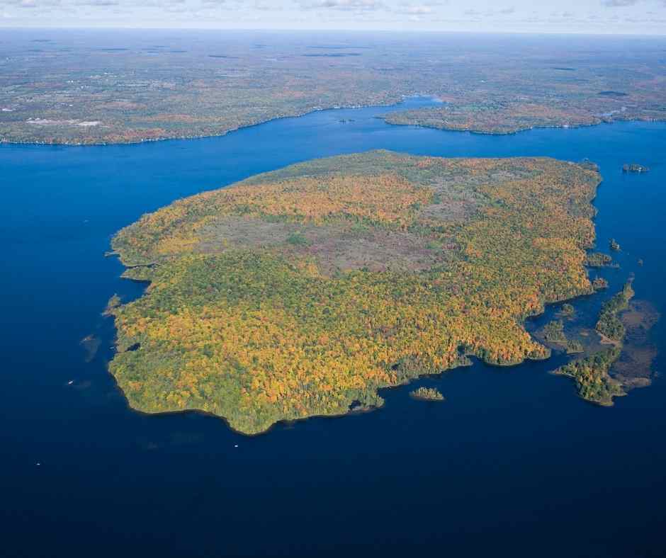
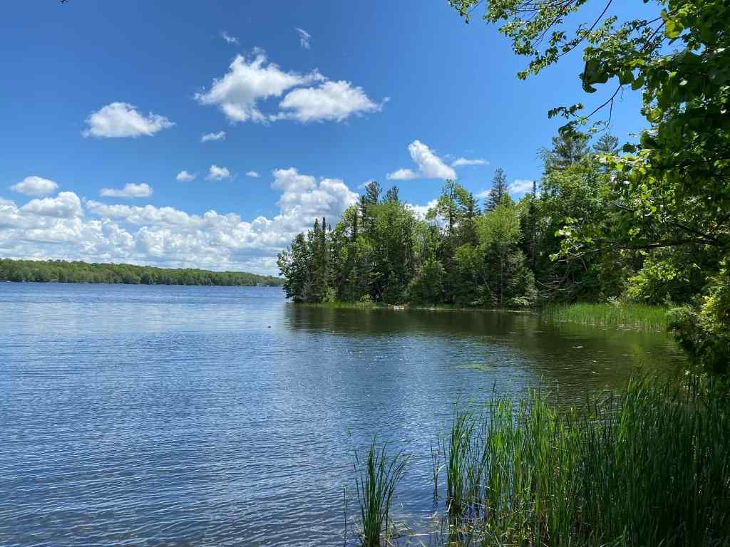
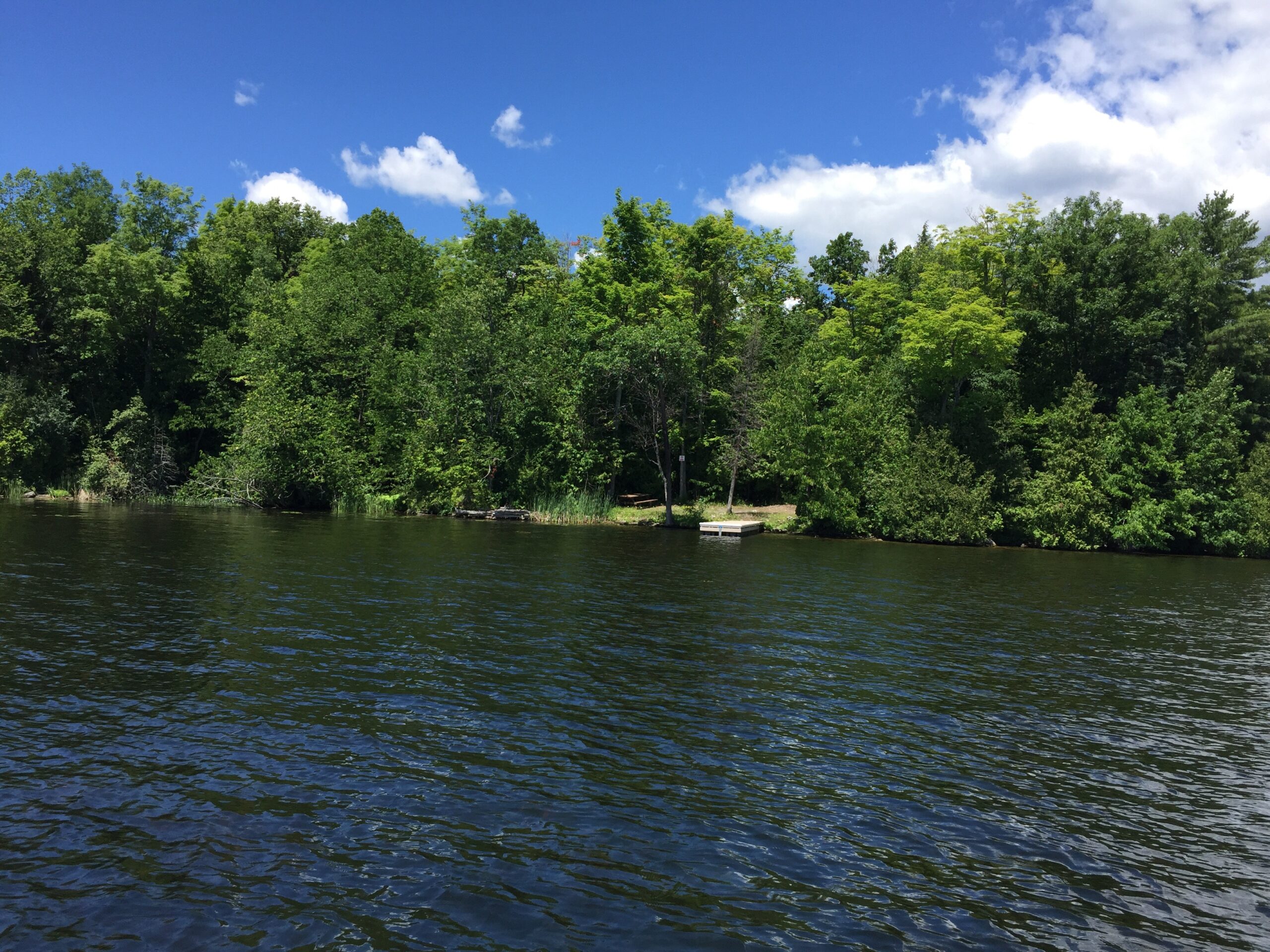
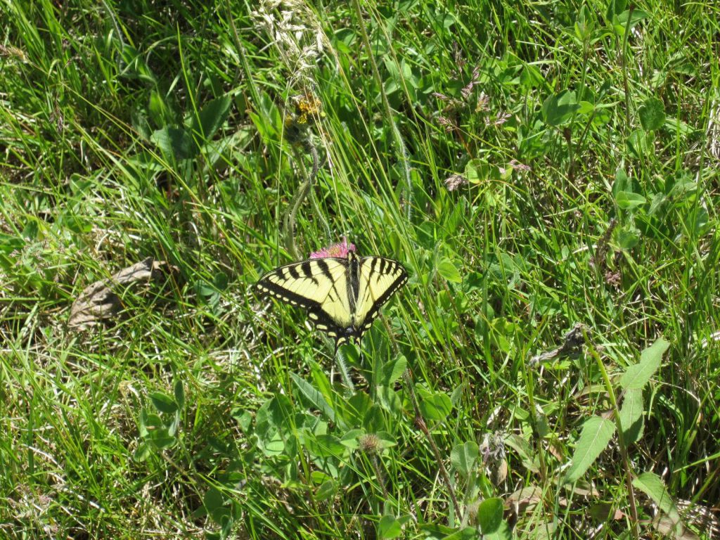
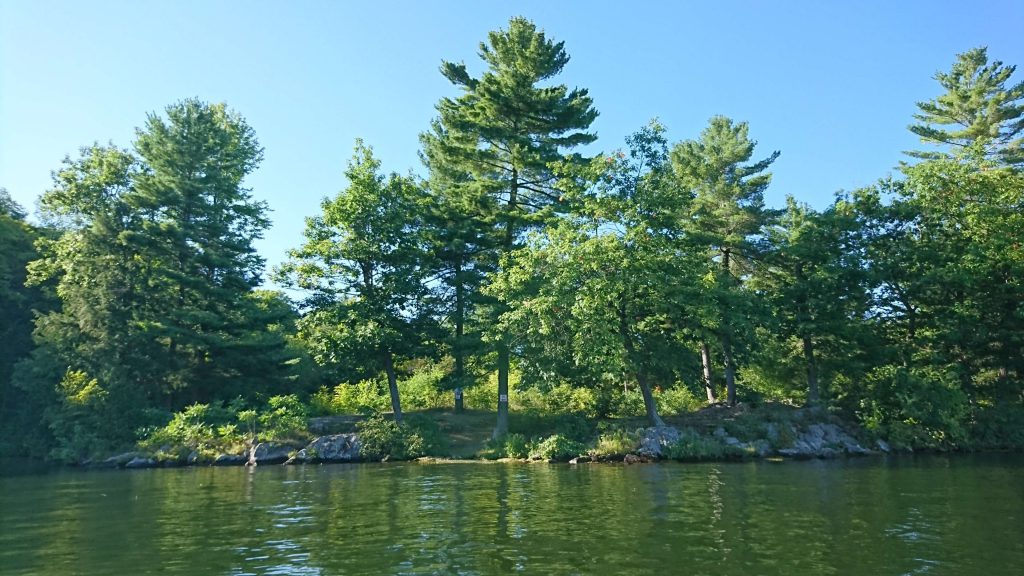
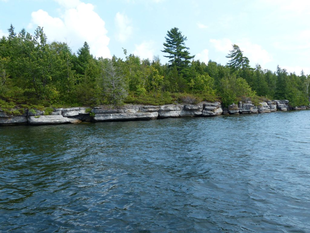
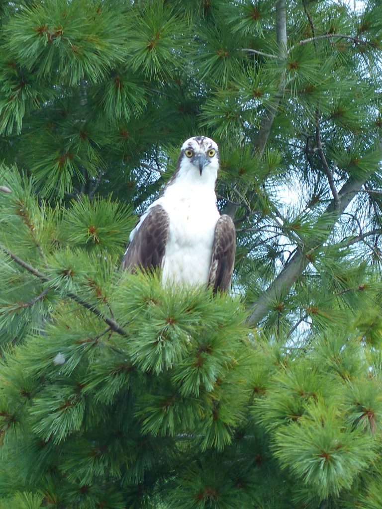
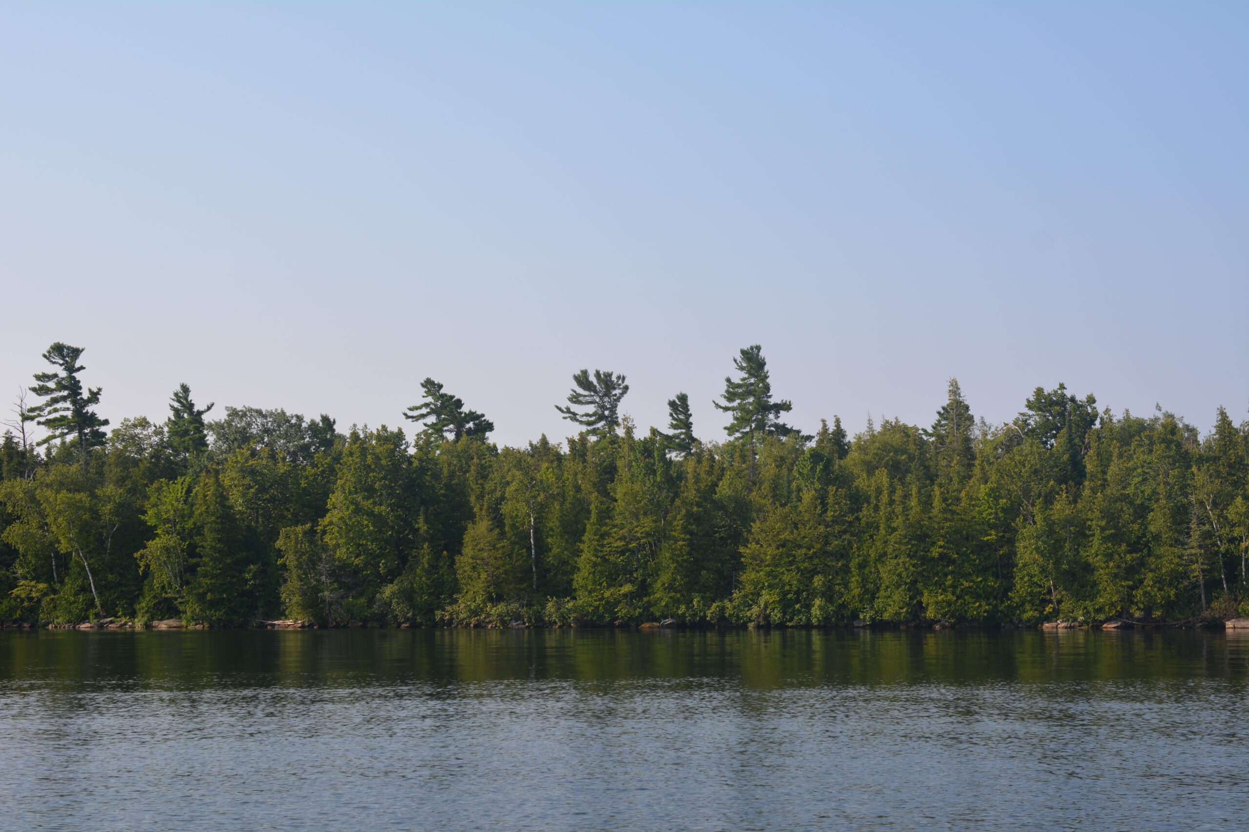
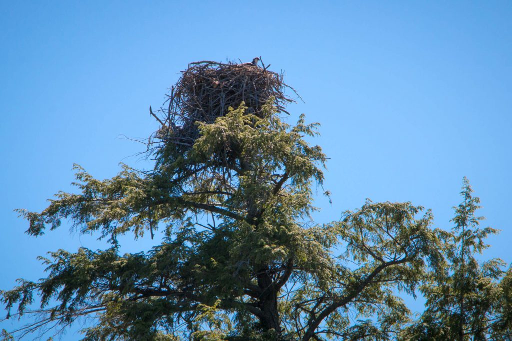
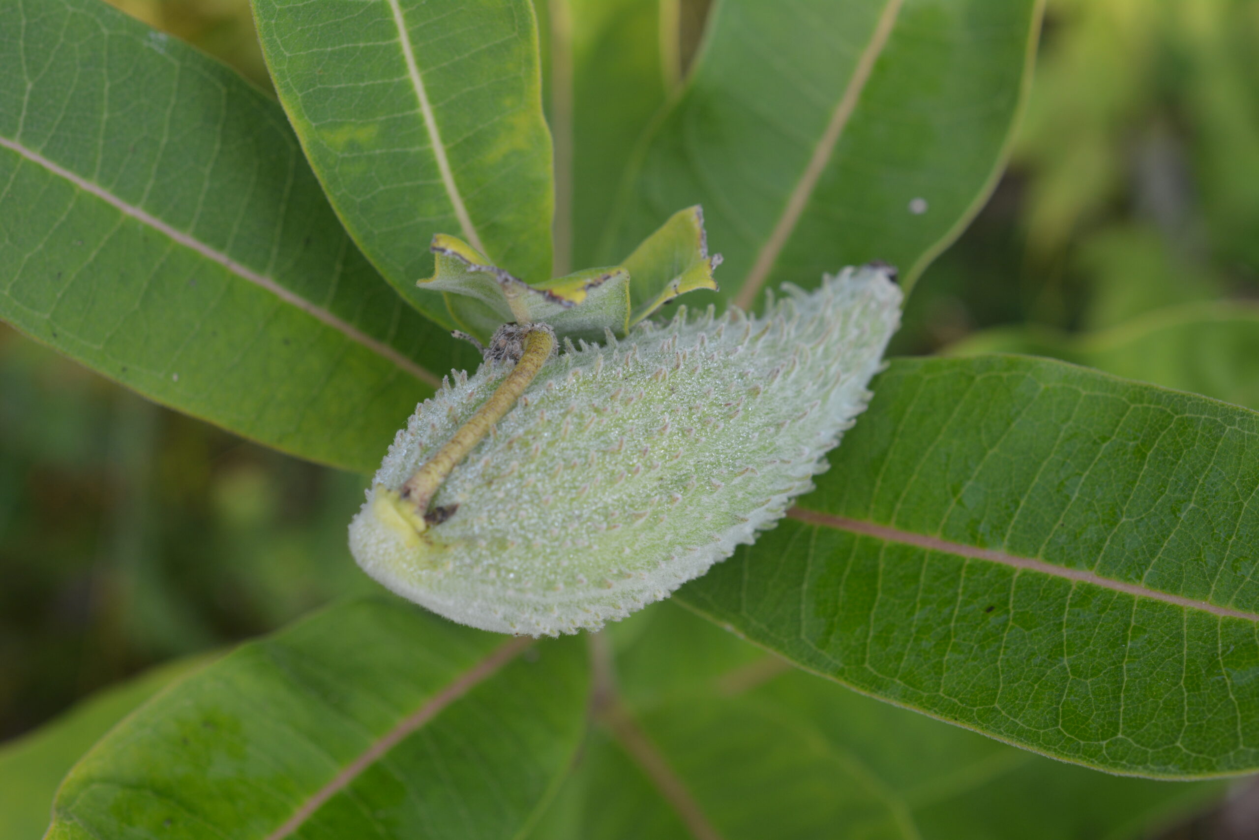
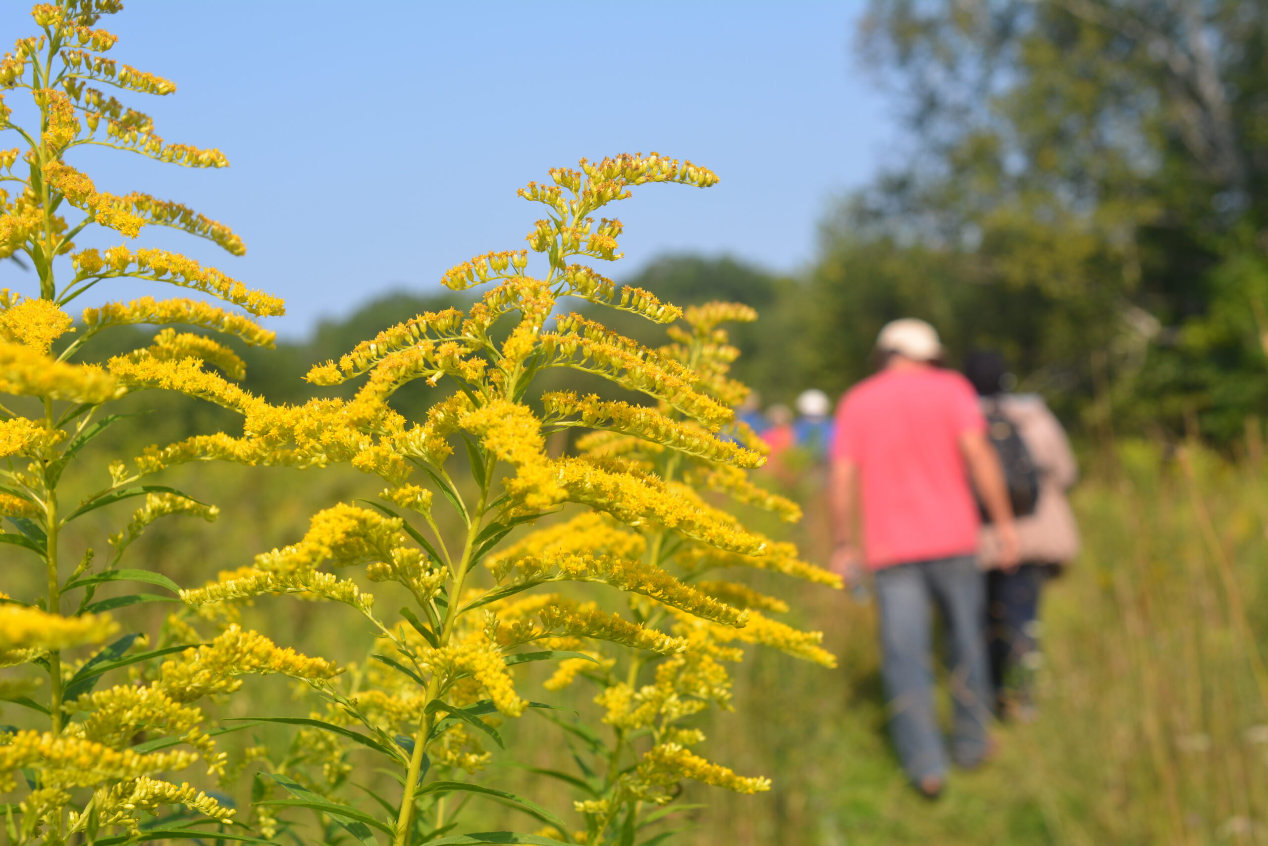
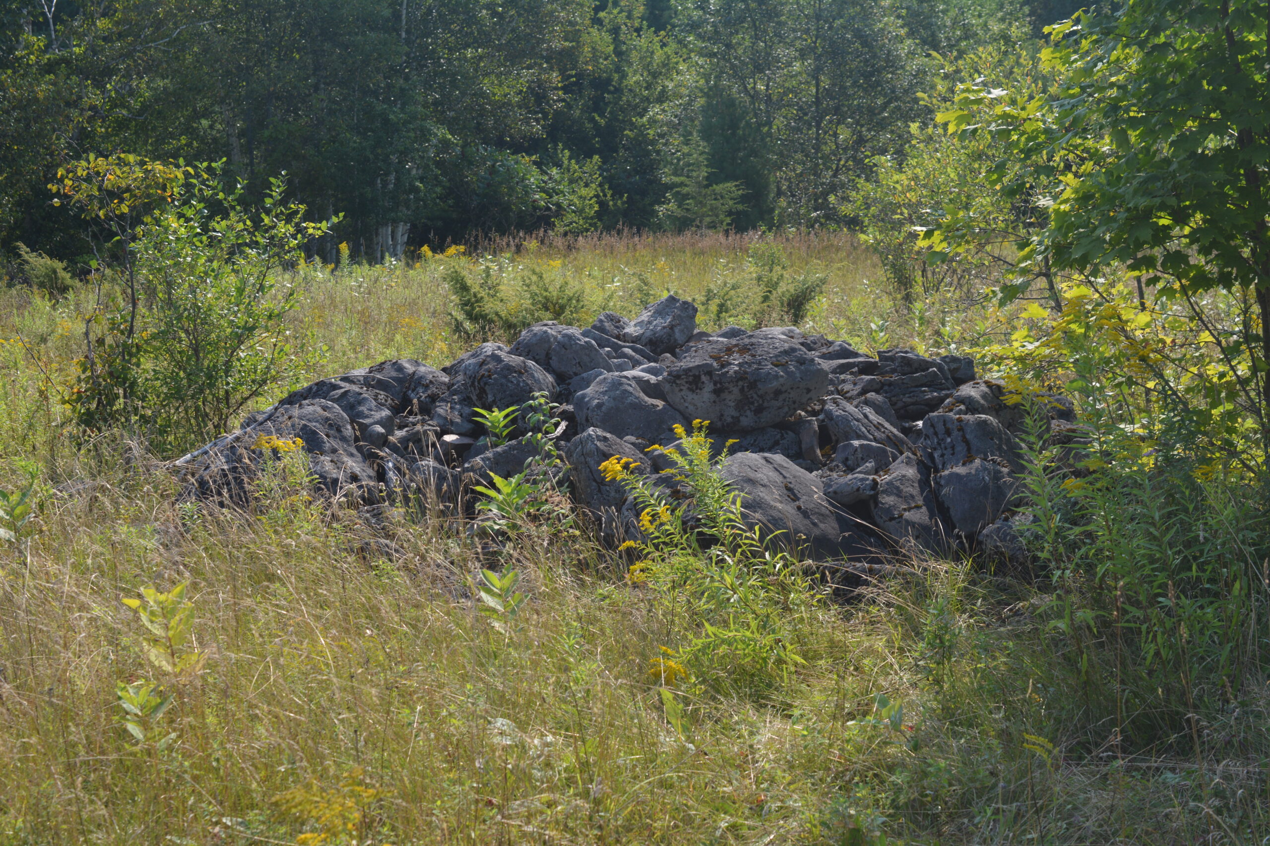
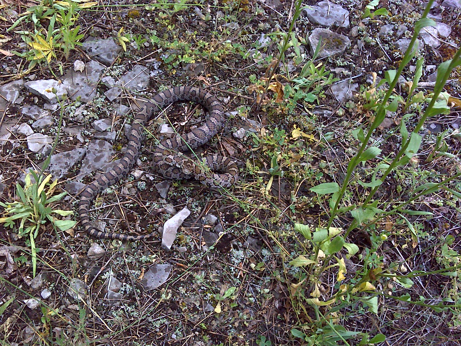
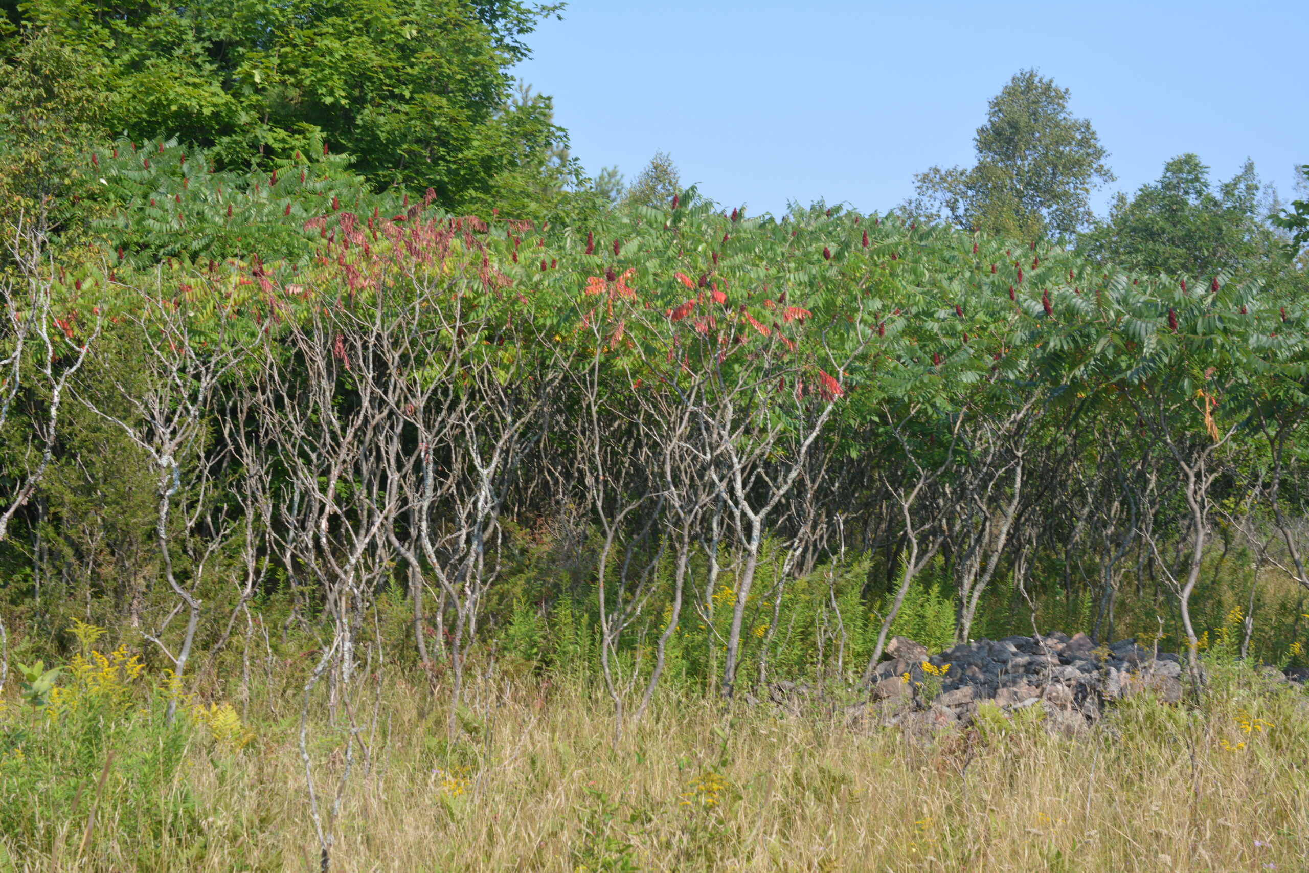
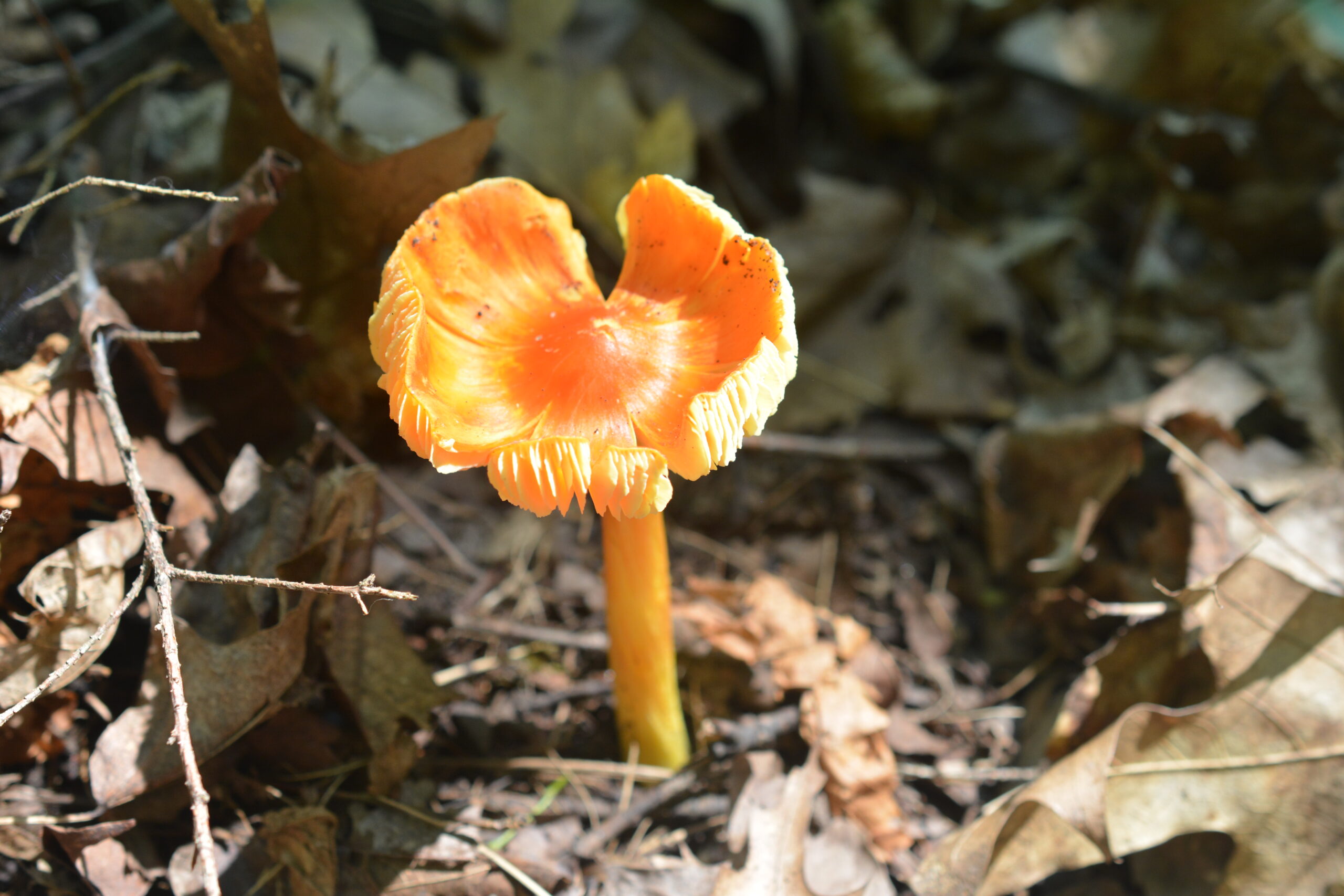
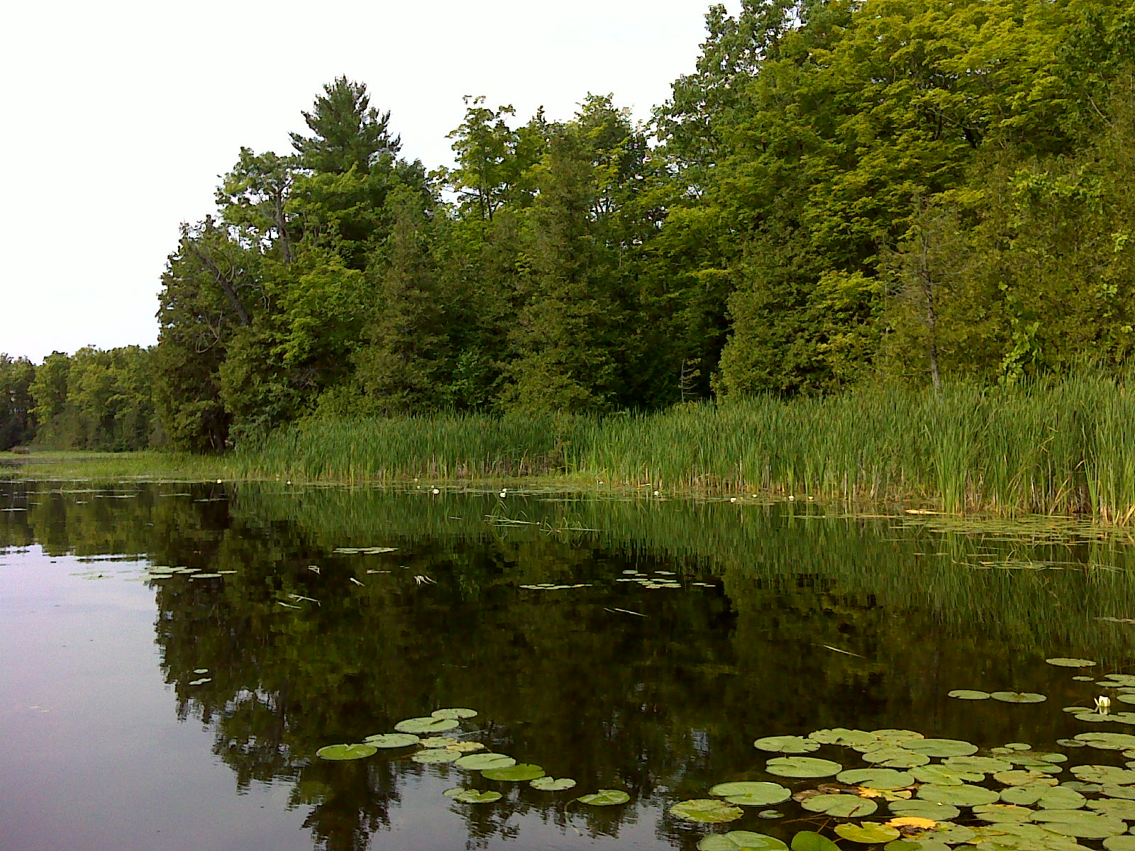
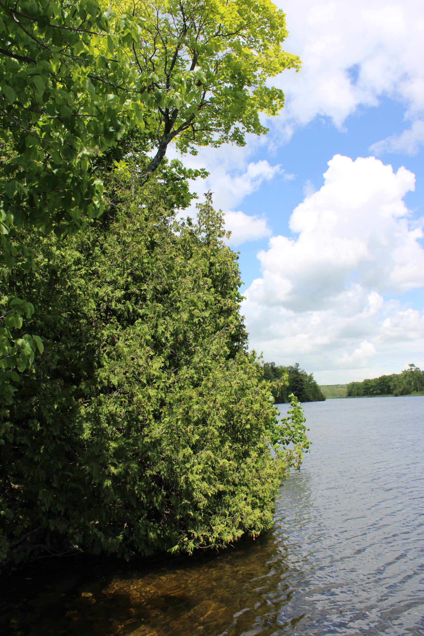
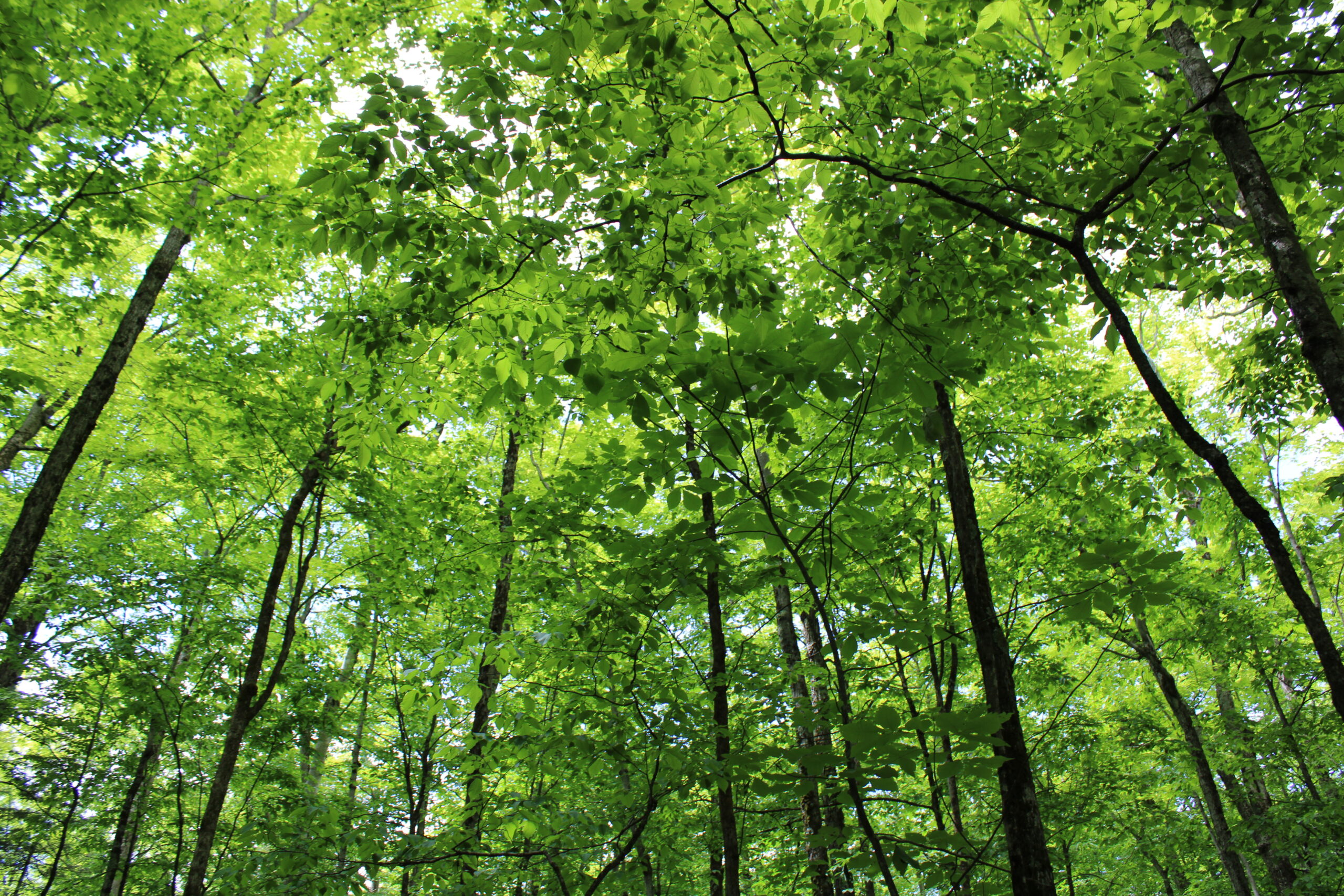
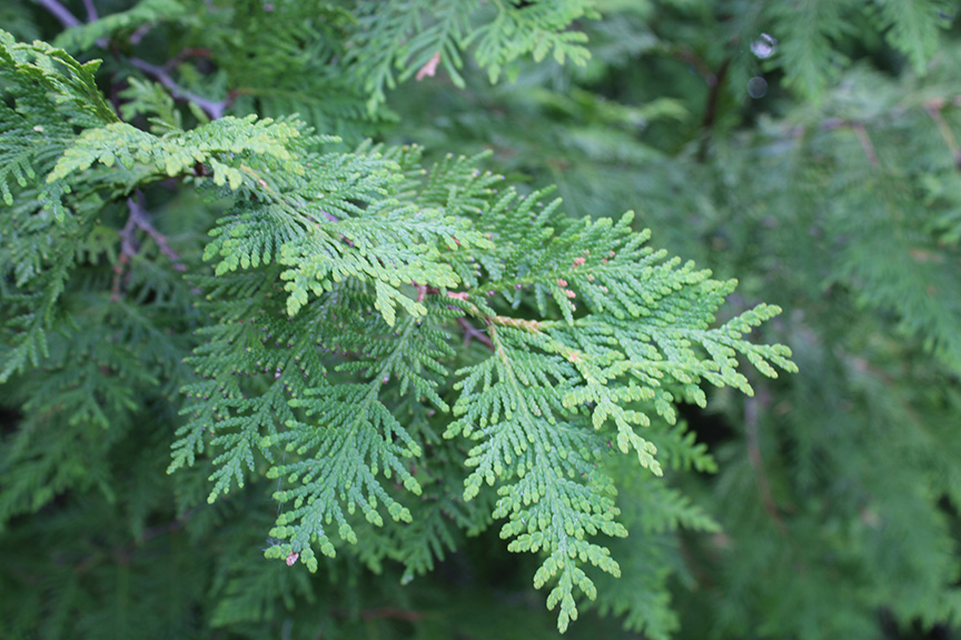
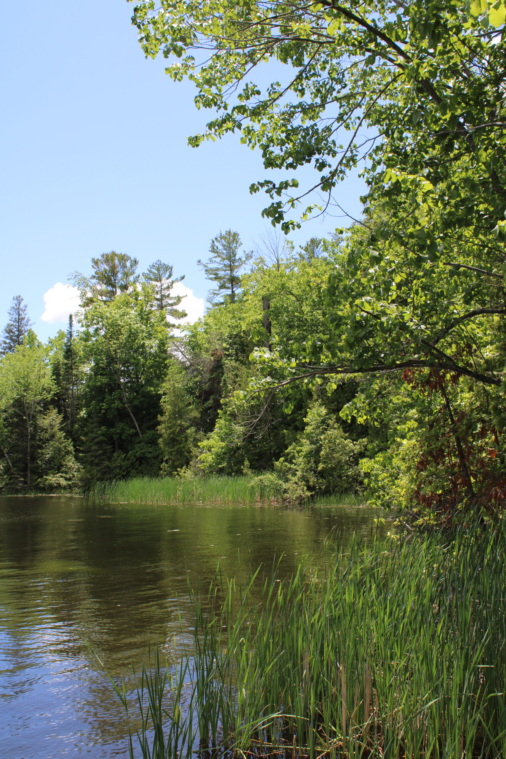
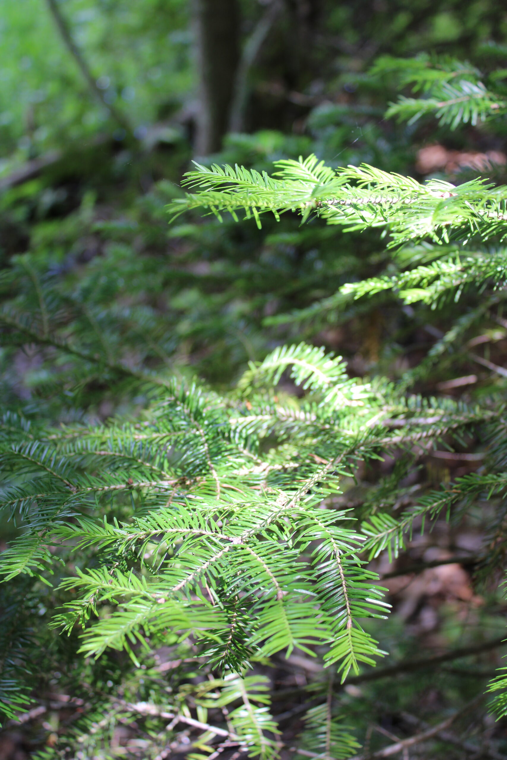
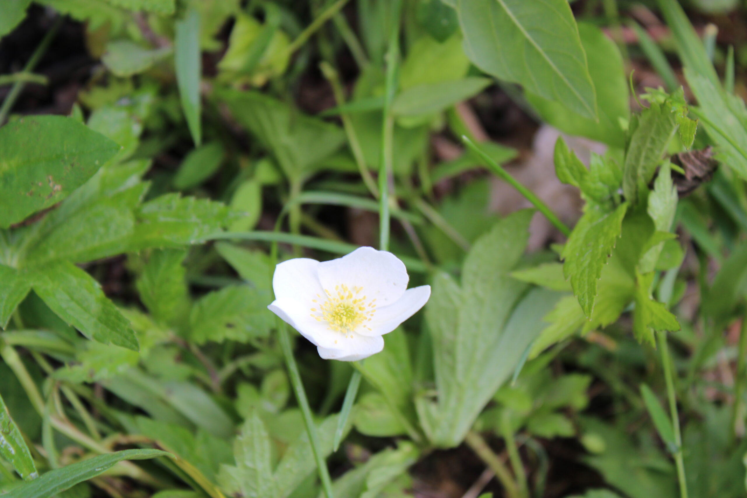
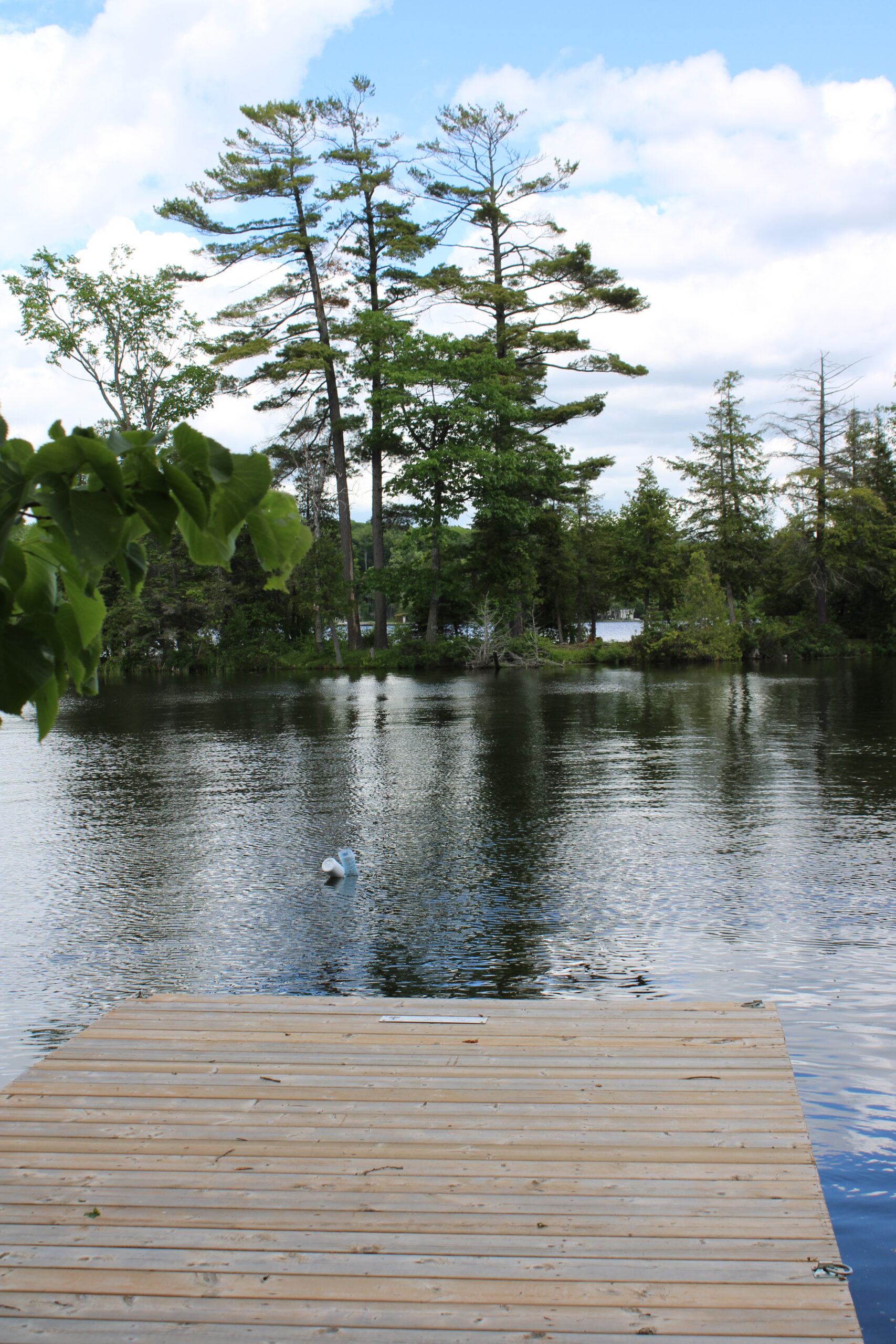
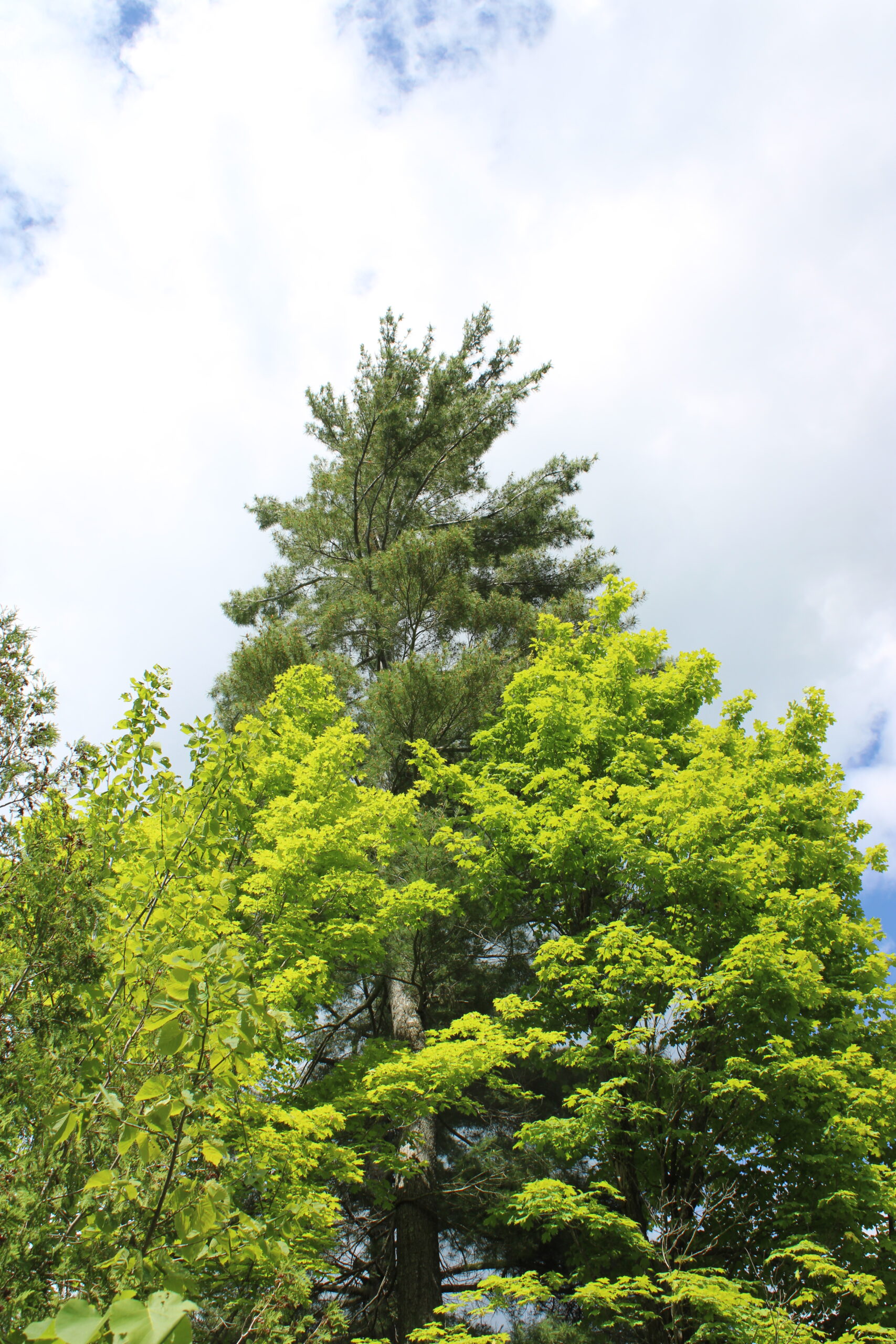
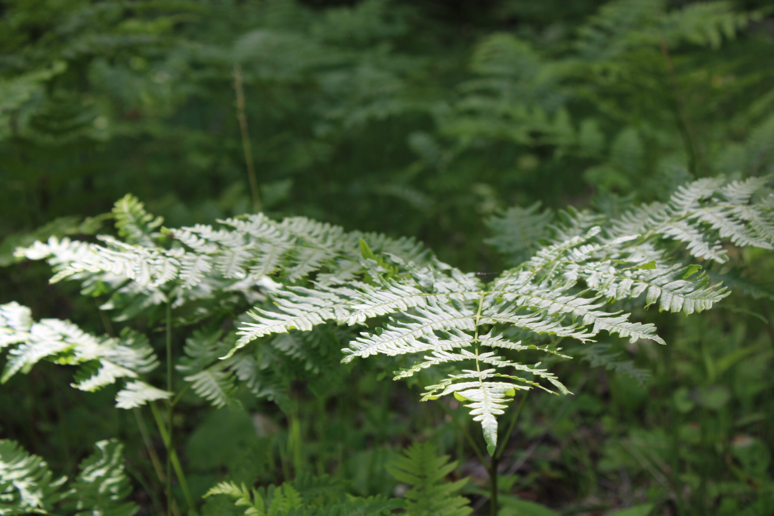
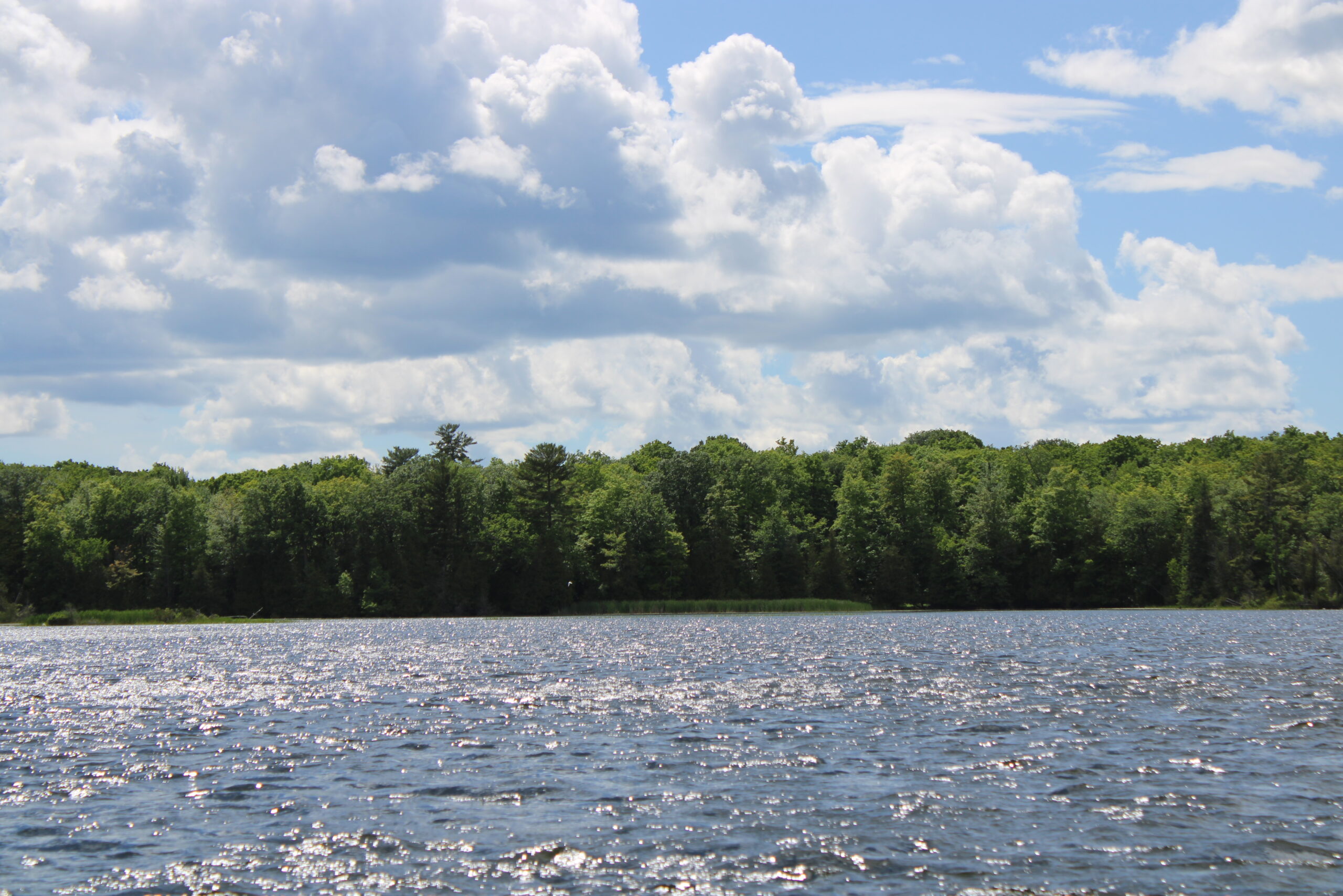
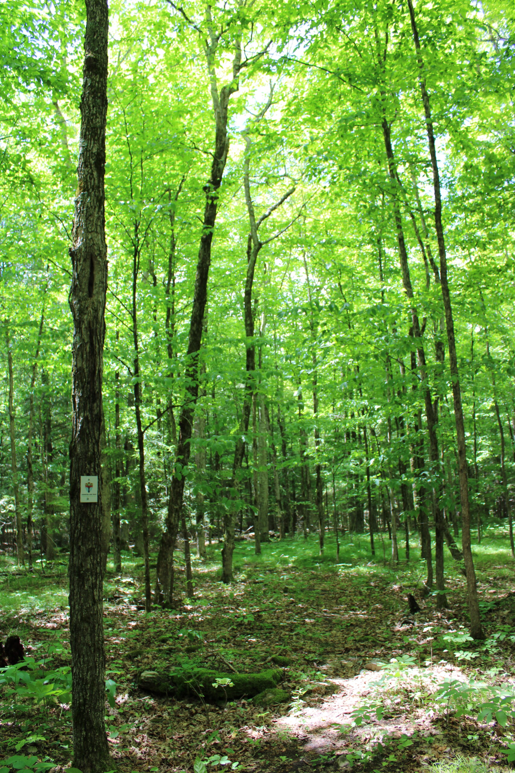
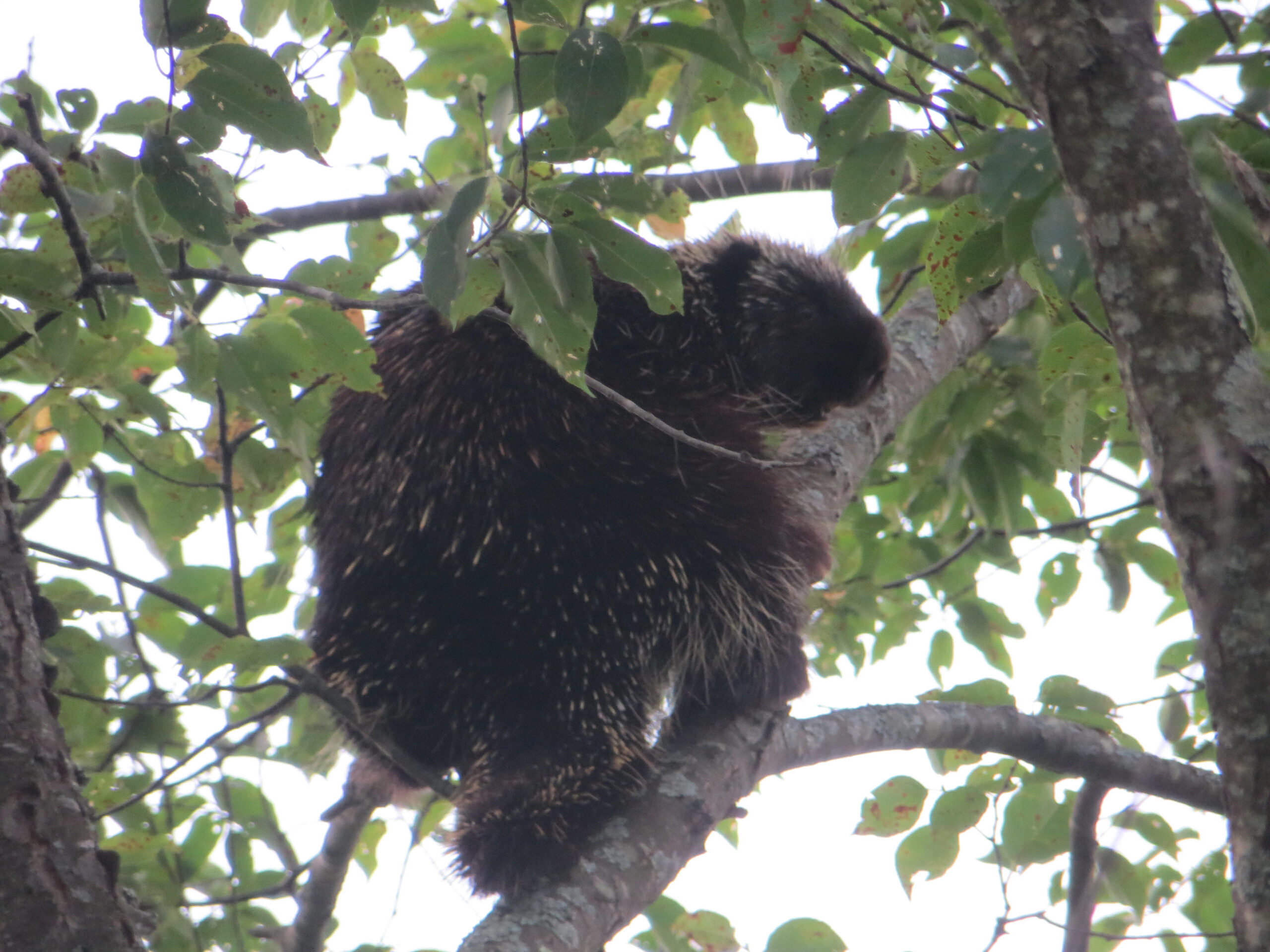
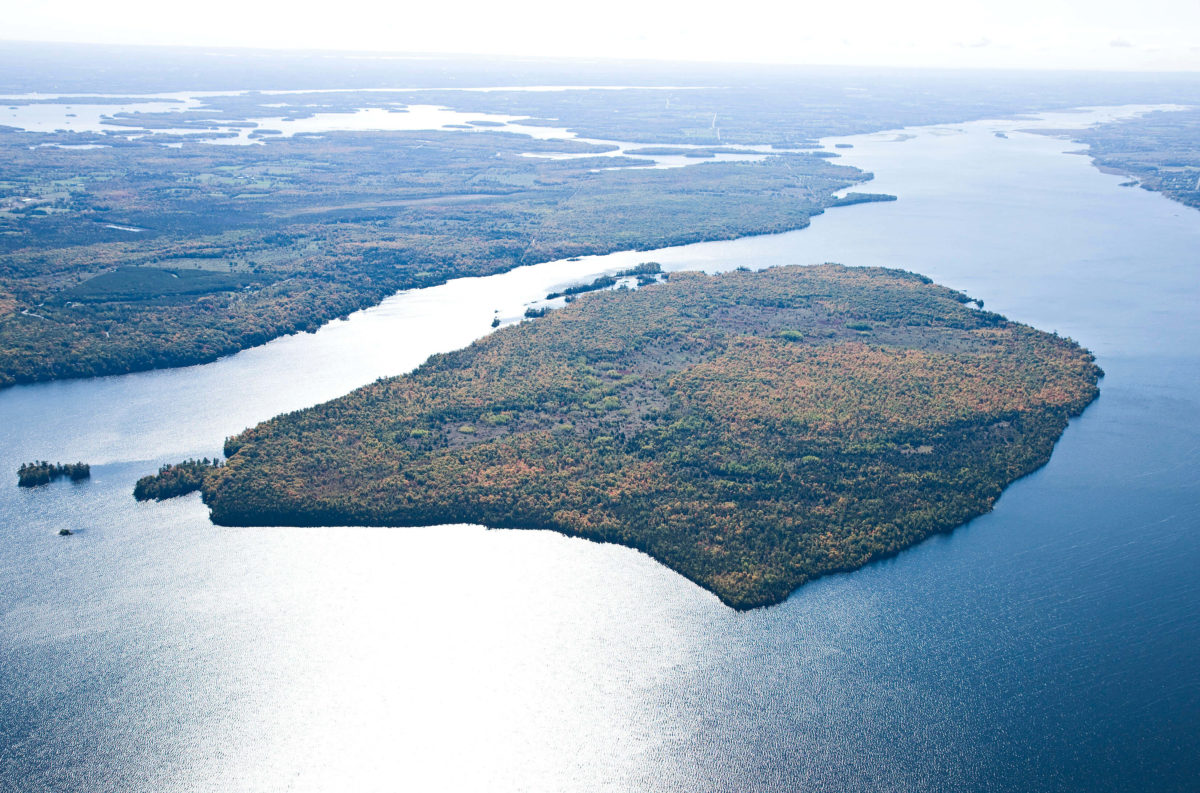
Big (Boyd/Chiminis) Island, located in Pigeon Lake, is the largest undeveloped island in the Kawarthas. The property is an area of natural and scientific interest, and home to wetlands, diverse forests, and a wide variety of plant and wildlife species.
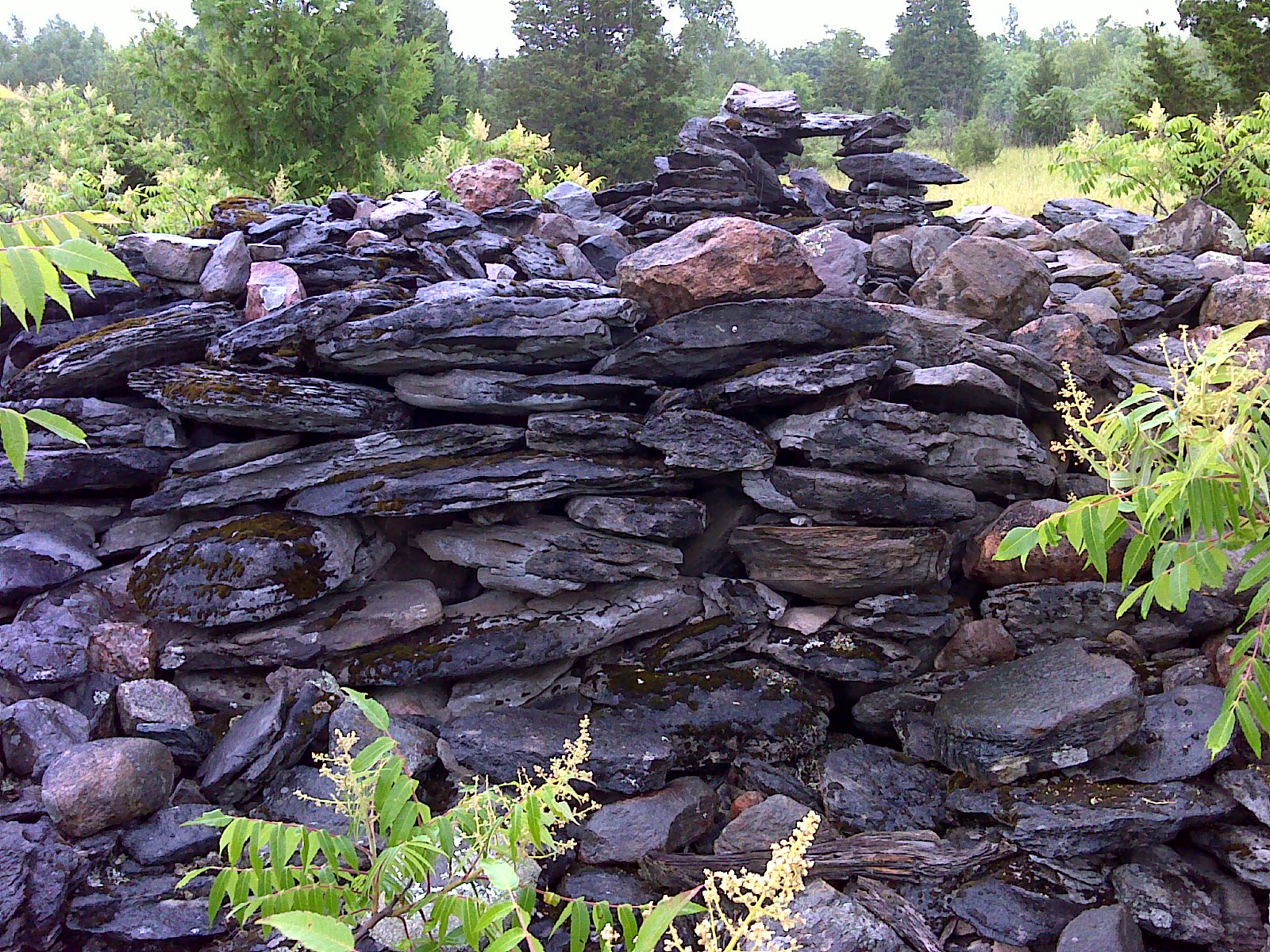
First Nations peoples used this island as a meeting and harvesting place thousands of years ago. Today, the island has significant cultural value to Curve Lake First Nations and to many others in the area. The island was once owned and farmed by the Boyd family, one of the first settlement families from Bobcaygeon. The island is referred to as Big, Boyd or by its Indigenous peoples’ name, Chiminis.
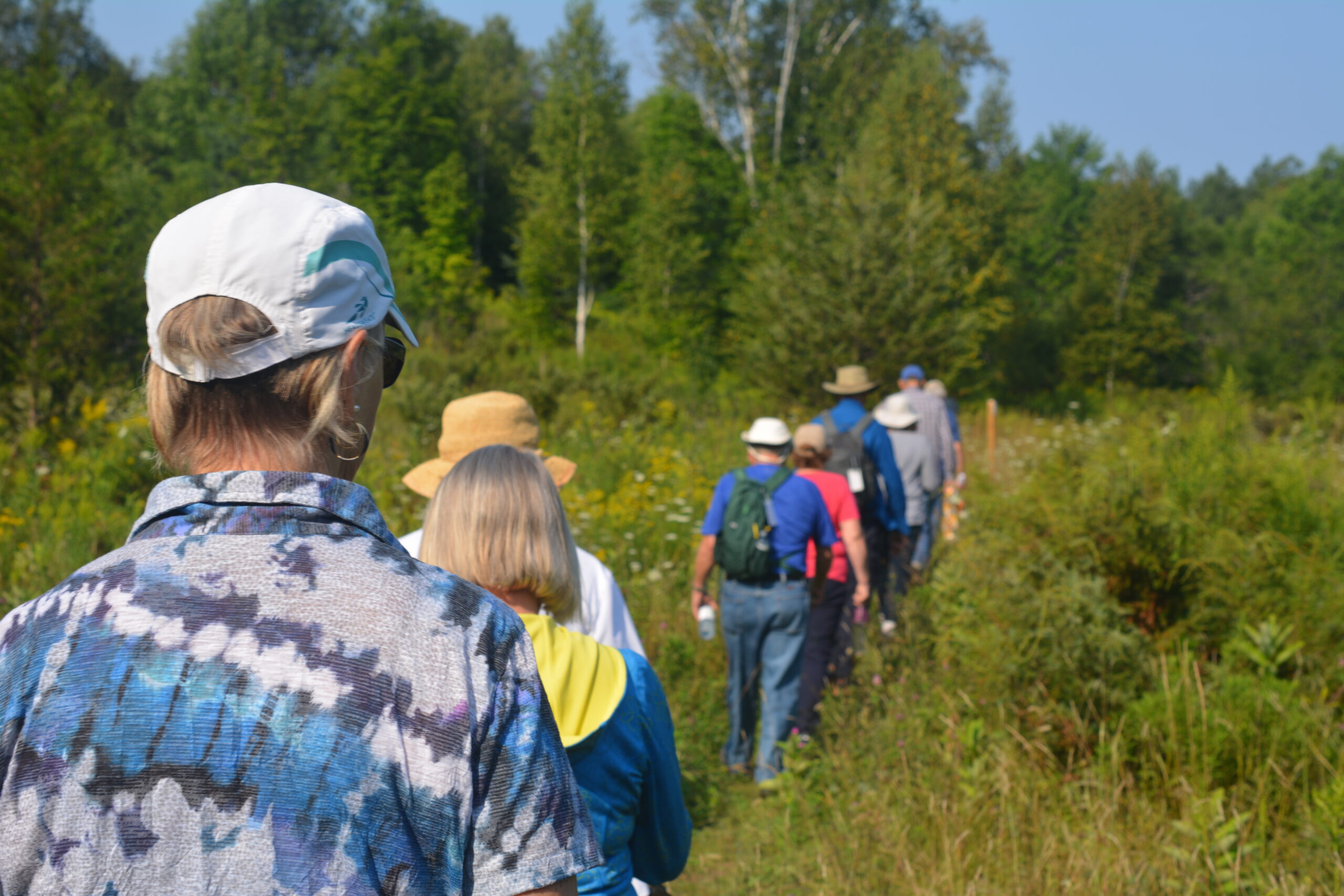
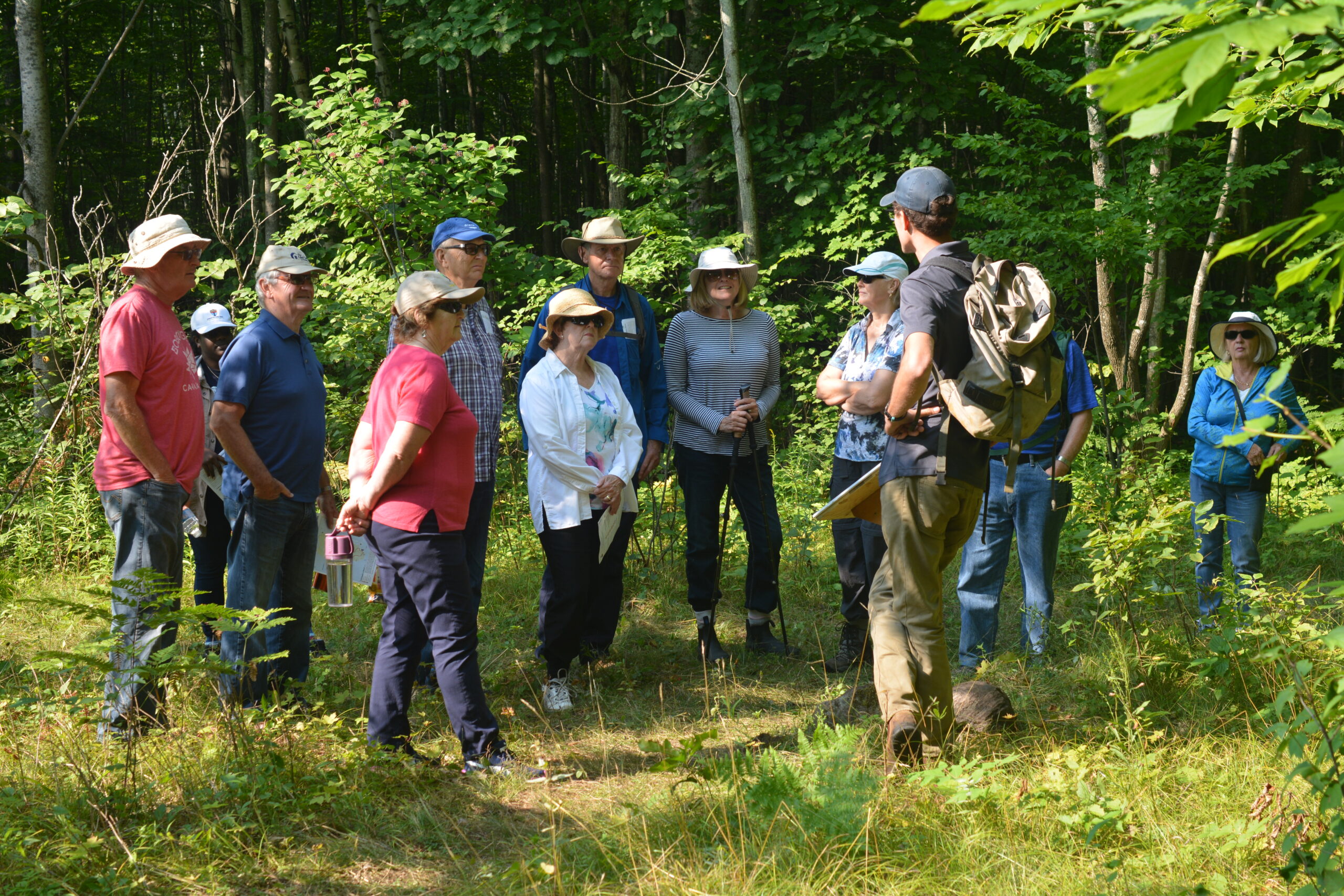
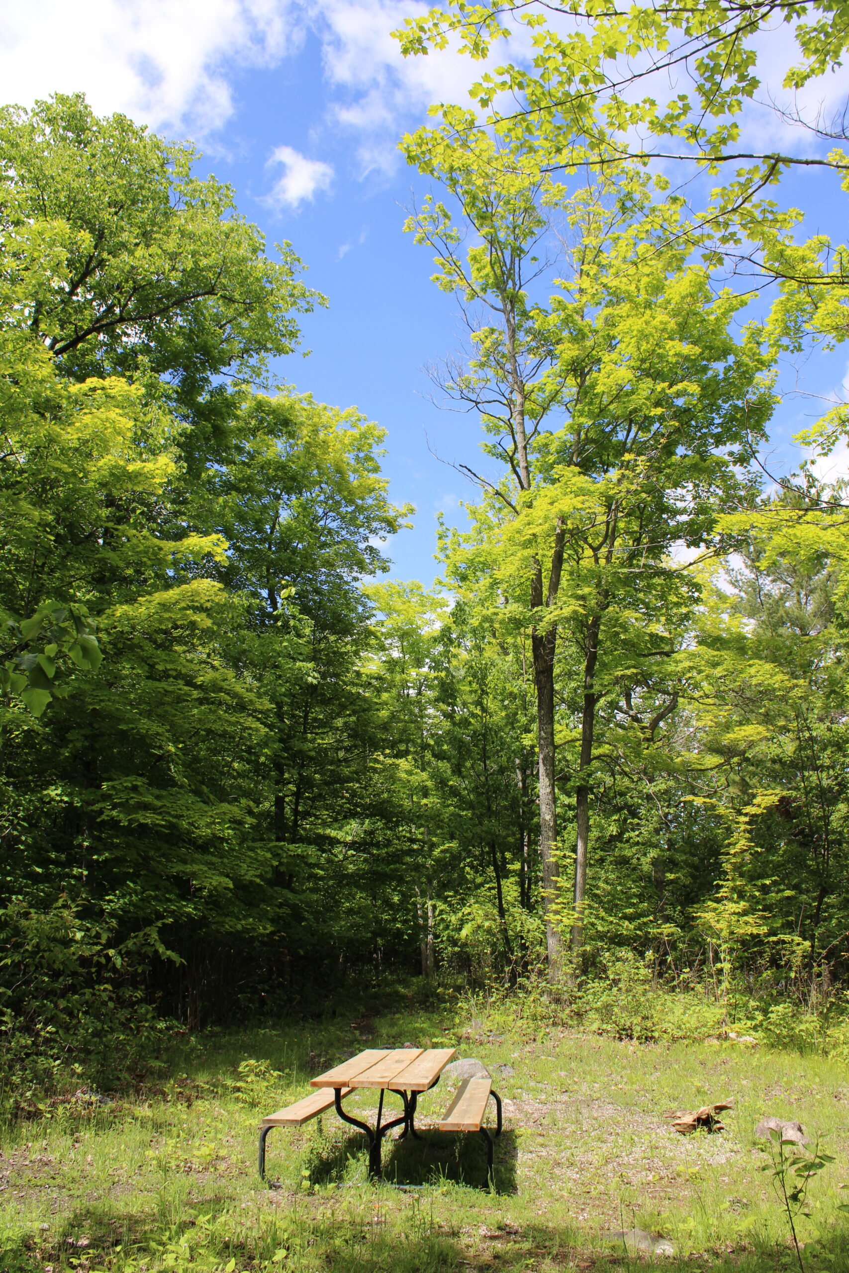
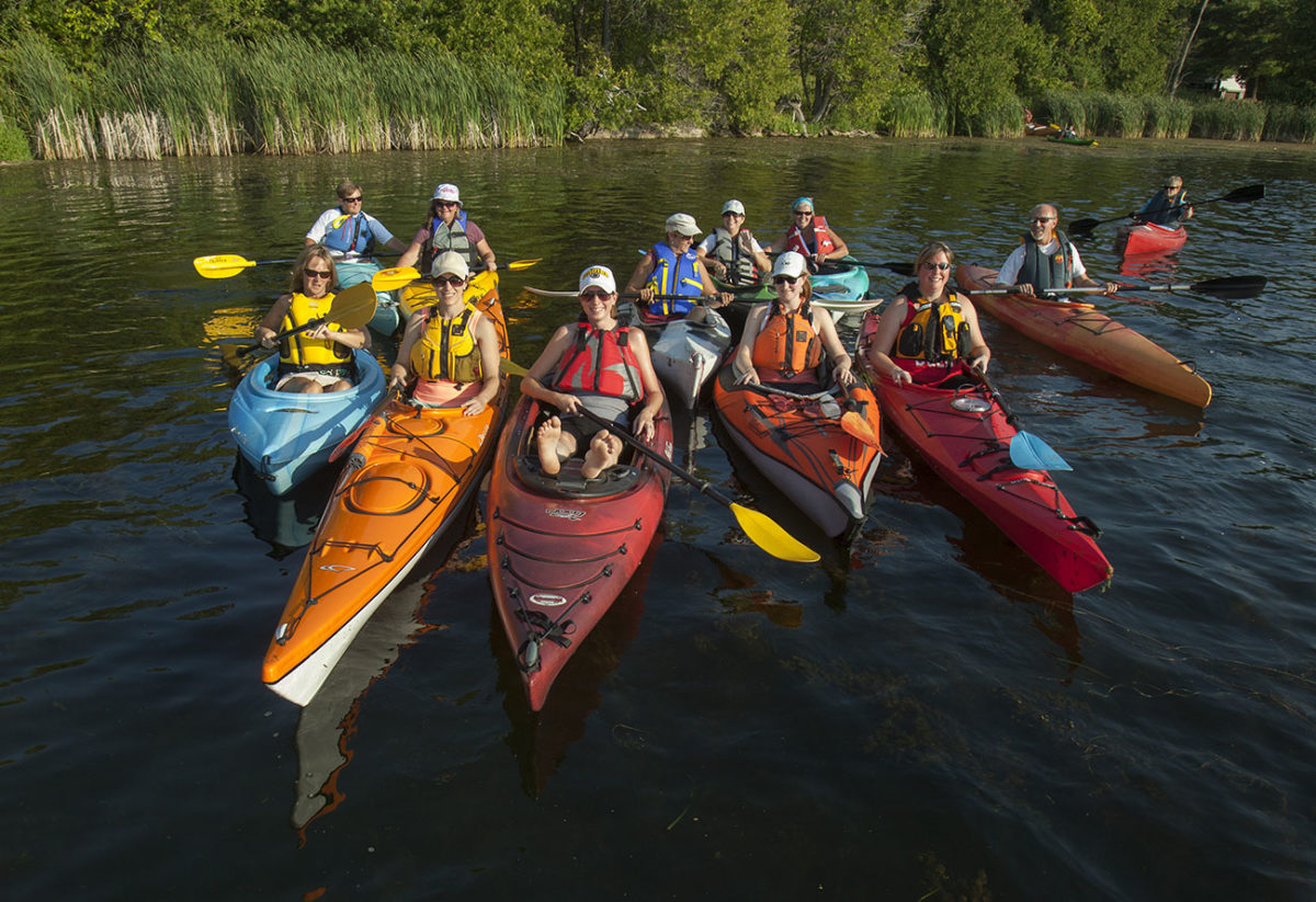
Permitted activities include the following:
Based on the wishes of the donor, who originally intended to develop the island but instead decided to make this generous donation; the restrictions of the Environment Canada Ecological Gifts Program through which the island was donated and for liability risk and insurance limitations, activities that are not compatible with protecting the island cannot be permitted.
Prohibited activities include the following:
Use at your own risk and please tread lightly. Thank you for your continued support!
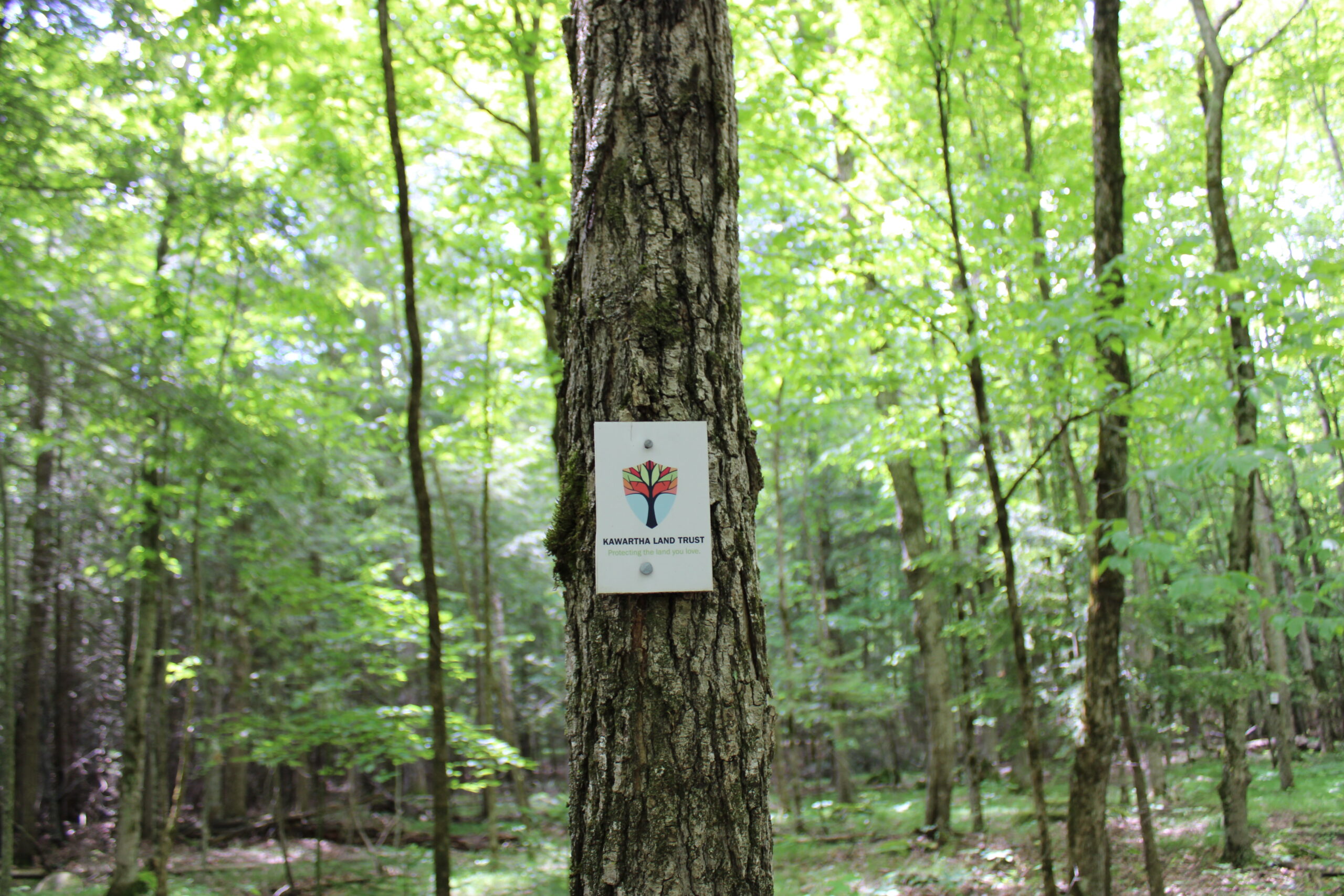
This property has been secured with the support of the Government of Ontario through the Greenlands Conservation Partnership, which helps conserve ecologically important natural areas and protect wetlands, grasslands and forests that help mitigate the effects of climate change. Through the Greenlands Conservation Partnership, a total of $50 million will be invested over four years, including $20 million from the Ontario government, and another $30 million from other sources, such as individual donations and foundation support through the Nature Conservancy of Canada (NCC) and the Ontario Land Trust Alliance (OLTA), and other levels of government.
